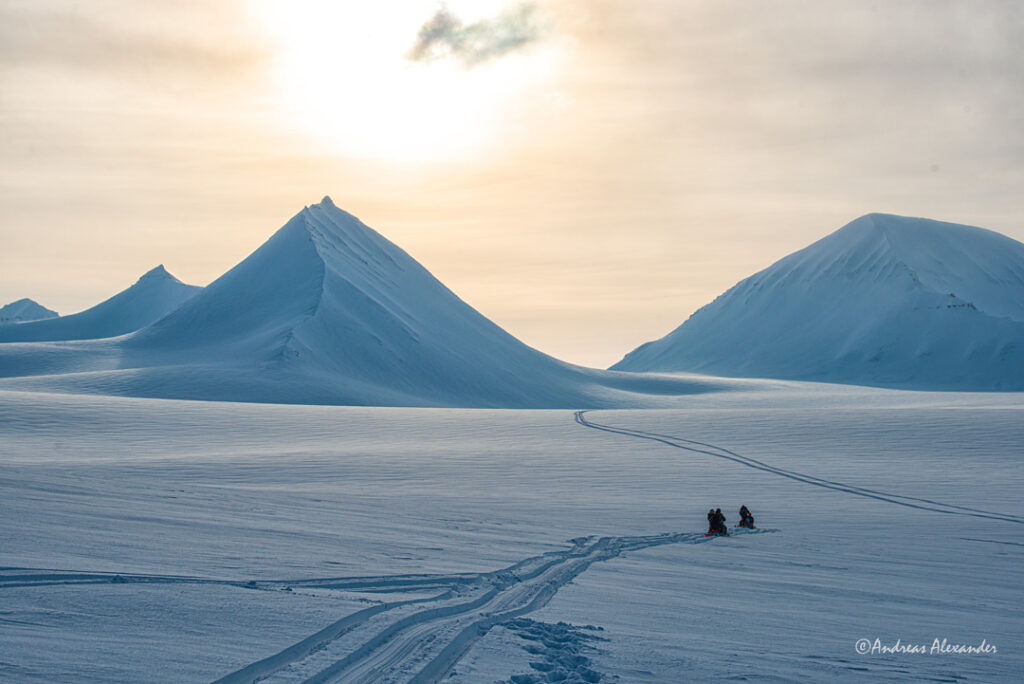
Out and about. Getting glaciology students to do radar mapping on a snow covered glacier. Looking for changes resulting from climatic warming during winter and traces of the recent rain event in the snow. Mapping with snowmobiles feels a bit too easy though. No skis, no hiking, no ropes, no heavy backpacks and no pain involved. Where is the fun in that?